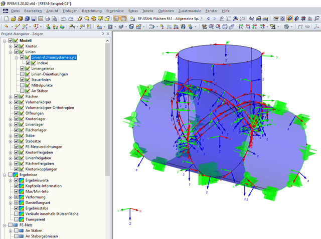
In my model, the coordinate systems of all lines are displayed. This makes the model very unclear. Is it possible to switch off the coordinate systems of the lines?
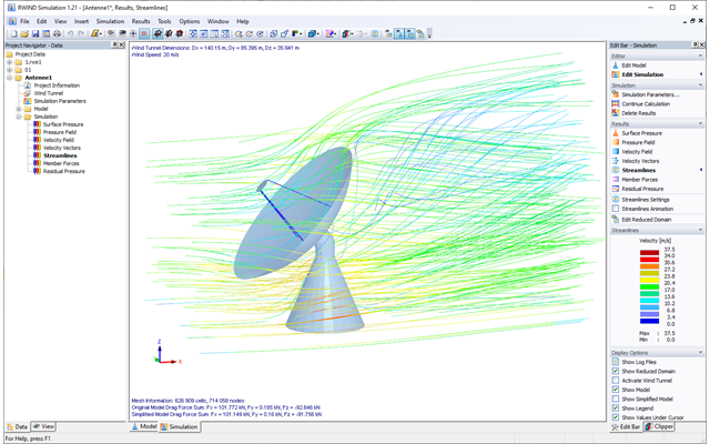
To what extent are the results of the RWIND Simulation calculation compatible with the valid wind standards (for example, EN 1991‑1‑4, ASCE/SEI 7, and others)?